
Bedford Neighbor Record Sources
Public records show different things about the parcels around an address. CAID supplies parcel geometry and jurisdiction layers. TAD supplies an assessed owner, a property address, and a legal description. Recorded instruments add dated parties and transaction details. Tarrant's voter tool is an individual registration lookup, subject to confidential-voter rules. Bedford's civic contact page gives organization routing, not a roster of members. Start with the source that matches the block question instead of combining everything into a claim about who lives nearby.
| Bedford source | What it shows about a block | Access |
|---|---|---|
| CAID parcel viewer | Parcel geometry, boundaries, layers, and address context | Free reference viewer |
| TAD property card | Assessed owner, situs, legal description, and mailing field | Free public search |
| Tarrant Official Records | Recorded parties, dates, instrument types, and land descriptions | Free index; account for images |
| TCVL | Matched registration, status, and districts | Individual lookup, subject to suppression |
| Fort Worth Suburban directories | Past address and nearby-entry leads | Repository access by year |
Owners, occupants, and adjacent parcels are different facts. The strongest output is a dated parcel or record explanation, not a guessed household relationship.
Bedford Parcel Geometry First
CAID is the county's general-reference property map. Search an address, then examine the selected parcel before moving to the surrounding lots. The county says its layers can include city boundaries, voting precincts, ZIP codes, school districts, property, flood contours, facilities, and other geographic information. The official TCProperty ArcGIS layer identifies SITUS_ADDR as its display field and publishes parcel attributes through query services. Map data can be revised, so retain the date and do not use it as a survey.
Bedford's civic contacts page is shown below. It provides a local organization starting point alongside the county parcel layers.
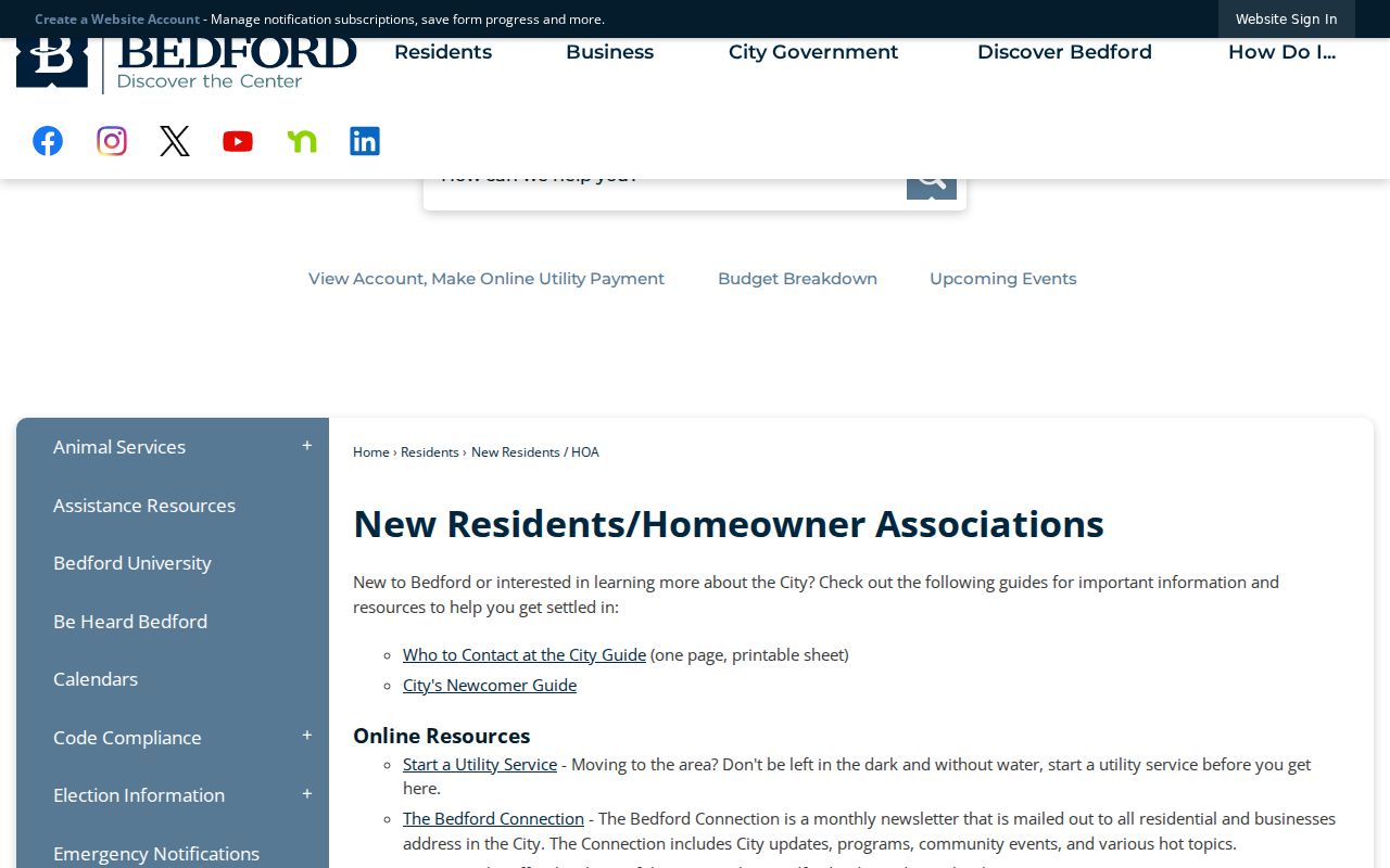
The city list includes contacts for organizations such as Bedford Estates, Brookwood Hills, Glenbrook, Harwood Place, Morrow Green, Quail Crest, River Forest, Rollingwood, Stonecourt, and Willowcreek. It does not establish membership or identify neighbors.
Mapping a Bedford Block
Use one address as the geographic anchor, then move outward one parcel at a time. Save a parcel account, situs, subdivision, block, lot, and legal description before checking a nearby parcel. TAD can add the assessed owner and mailing field. PublicSearch can add a dated deed or other instrument where a precise transaction question exists. For the full sequence along a named road, use the Bedford street directory rather than trying to turn a block check into a whole-street roster.
- Enter the known address in CAID and verify the selected parcel.
- Record its site or account reference, situs, and legal description.
- Inspect the immediately adjacent parcels as separate map records.
- Use TAD for an assessed ownership lead and note the mailing-address limitation.
- Use the deed index only to confirm a dated transaction or land description.
Adjacent lots are geographic neighbors. They do not establish family, social, membership, or household relationships.
Bedford Address Fields Compared
A block lookup can surface several address types. USPS gives a normalized delivery address. CAID and TAD identify the physical parcel, often called the situs. TAD's primary owner mailing address is for tax notices. A deed-party address is the location printed in a dated instrument and can be an office, agent, or earlier address. A voter registration address serves the registration system. Using each field by its label prevents a parcel map from becoming a false current-residence claim.
| Field | Careful Bedford wording |
|---|---|
| Situs | Physical location attached to a parcel |
| Owner mailing | Assessment notice address |
| Record-party address | Address reported in a dated instrument |
| Registration address | Address in a matched voter record |
Note: A block result is clearer when the field label is stated alongside the date and record keeper.
Bedford Precinct and Block Context
Tarrant's Find My Registration accepts last name, first name, date of birth, or State Voter ID. A matched result can provide a voter status, address, identifiers, districts, precinct, polling location, and election history. That result is not a property record or a broad neighbor list. The county's current election materials also describe an address-based Voter Precinct Change Lookup effective January 1, 2026. It is useful for checking precinct geography after the parcel is located.
Tarrant County Elections provides the current election-information route shown here.
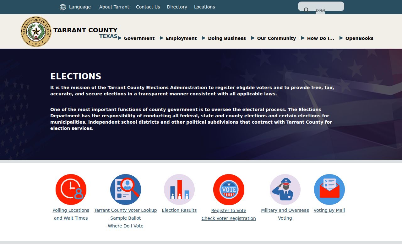
A precinct can explain the public jurisdiction around a block. It does not verify who currently occupies the homes in that area.
Bedford Historic Block Records
Older block research needs older sources. Tarrant Archives election holdings cover records from 1877-1980, mostly 1890-1966, and include poll lists, precinct materials, city and survey maps, and Bedford-area maps from the 1960s-1990s. Fort Worth Suburban directories can supply past address entries for selected 1963-1993 Bedford coverage years. Compare an adjacent entry with the directory year and map label before calling it a historical neighbor.
The Tarrant election holdings illustrate the archival record route.
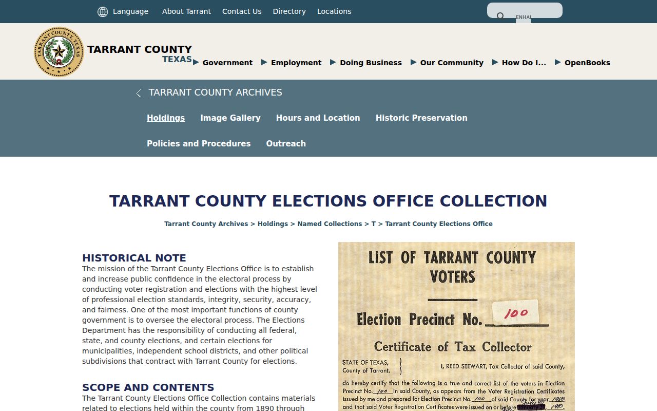
Historic poll lists and maps are research sources with their own access rules. They are not a current block directory.
Bedford Civic Contact Routes
Community contact information can help someone identify an organization connected to a neighborhood without presenting private membership details. Bedford's civic page is the local route found in the research. It lists HOA names and contacts alongside city services. When a block question concerns a public improvement, planning matter, permit, or existing city record, the City Secretary's Public Information Act route can receive a narrow request with an address and date range.
Bedford City Secretary
2000 Forest Ridge Drive
Bedford, TX 76021
817-952-2104
Tarrant Appraisal District
2500 Handley-Ederville Road
Fort Worth, TX 76118-6909
817-284-0024
The research did not locate a public HOA membership roll. Ask an organization only through its stated contact process.
Bedford Neighbor Tools Compared
Official sources and commercial neighbor tools answer different questions. A county parcel map gives a dated public parcel framework and identifies its keeper. An assessment card explains ownership and notice fields. A recorded instrument supplies a transaction trail. Commercial tools may collect fields from many dates and sources without making their limits easy to trace. For Bedford neighbors, the official route is slower but lets the reader compare the source date, field label, and access boundary.
| Official record route | Commercial category | Useful safeguard |
|---|---|---|
| Parcel and map layers | Combined map profile | Check the situs and map date |
| Assessment card | Owner profile | Separate mailing and physical address |
| Recorded deed index | Address history list | Check parties, instrument type, and date |
That method protects against assuming that a convenient block result is complete or current.
Bedford Neighbor Privacy Limits
Public access has firm boundaries. Texas Address Confidentiality Program participants can use a substitute address, and Texas Election Code section 13.004 protects confidential voters. Utility disconnection information is confidential under a separate Texas rule. Bedford CrimeMapping intentionally generalizes incidents to the block and does not verify an exact house or person. A blank record may reflect a protected or limited source, not an invitation to reconstruct private information from unrelated records.
Use nearby parcel information for lawful personal research, property curiosity, civic context, or family history. Do not publish unnecessary contact details or make claims about a person's private life from a map point.
CrimeMapping is a useful example of a source designed with a boundary. Bedford directs users to it for searches by area, report type, and date, but the city material describes block-level generalization and incomplete incident coverage. It can place a public-safety event in a broad area. It cannot identify an exact residence, prove an event occurred at one parcel, or establish anything about a person who may live nearby. The same care applies to a boundary, school, precinct, or ZIP layer on a parcel map.
Historic sources need their own limits. A Fort Worth Suburban directory can show nearby entries in one directory year, while Tarrant historical election holdings may contain poll-list and map material. Neither creates a present-day neighbor roster. Bedford's Mid-Cities history can place past material under HEB, Euless, Hurst, or regional labels. Read the label and year before joining it to a modern address.
The Address Confidentiality Program can protect qualifying survivors through a substitute mailing address. Confidential voter records are also suppressed. Never attempt to work around either protection by joining parcel, utility, social, or other information. If a record is restricted, the lawful result is to respect that restriction.
A responsible Bedford block note names the map layer, parcel or record, source date, and limitation. A plat can show lots, blocks, streets, and dedications, yet it does not establish who occupied a house. A deed can identify a transaction party without proving continued ownership. A directory can list an address in one year without confirming a later household. These distinctions make local records useful without turning them into a tool for private surveillance.
When the needed fact is not public online, use the appropriate custodian rather than a broad neighbor search. Bedford's City Secretary can route a request for an existing, defined municipal record. Tarrant Archives can identify historical collections. Neither route authorizes creation of a private household list.
Lawful use. Bedford neighbors research must never be used to watch, harass, threaten, stalk, or expose a protected person. Respect the source limits and the people behind the records.