
Trace a Bedford Street by Address
A useful Bedford street search begins with the place, not a presumed household. Normalize the delivery line with USPS ZIP Lookup, including an apartment or suite when one exists. USPS can standardize an address and return a ZIP, but it does not confirm that a person is there. Next, use the physical parcel address and an account or georeference number to connect county sources. Keep the date beside every result, especially when an old name is the goal.
- Enter the exact current delivery address in USPS, then preserve the normalized street line and unit.
- Locate the parcel in Tarrant County CAID or the Tarrant Appraisal District, recording the situs address, account or site number, subdivision, block and lot where shown.
- Use the owner name, legal description, subdivision, or instrument number in the recorded-property index. Search both grantor and grantee roles.
- Compare the instrument date with a directory, newspaper, or voter-registration result from the same period. A registration address is not independent proof of occupancy.
- When the property is older than the online trail, move to Tarrant Archives maps and ledgers. Record what survives rather than filling a gap with an assumption.
The sequence is address to parcel, parcel to recorded transaction, then dated household evidence. It is more reliable than treating a map label or owner mailing address as a list of everyone on a street.
Bedford Street Directory Record Coverage
Several offices hold records that can be keyed to a Bedford street, but their fields do not mean the same thing. The appraisal roll ties an assessed owner to a parcel. A deed index ties parties to a recorded transaction. CAID supplies map context. City requests can reach existing address-specific files when a defined permit, project, or date range is known. The Tarrant voter lookup is an individual registration tool, not a complete street roster.
| Address record | Custodian | Useful street clue | How to reach it |
|---|---|---|---|
| Parcel and appraisal card | Tarrant Appraisal District | Situs, account, owner, mailing address, legal description | Public property search |
| Parcel map and layers | Tarrant County CAID | Parcel geometry, boundaries, ZIP, precinct and school layers | Public map viewer |
| Recorded instruments | Tarrant County Clerk | Grantor, grantee, date, document number and subdivision | Official index, kiosk, mail or certified order |
| Registration result | Tarrant County Elections | Matched voter status, registration address and districts | Individual lookup with confidentiality limits |
| Permit or planning file | City of Bedford | Defined address, permit, project or date range | OpenGov route or Public Information Act request |
Use an account number or legal description to join county material, and use a street name only as a second route. A street spelling can change across maps and a postal label can cross city boundaries. The fields themselves provide the evidence: they should never be blended into one claim about a current household.
Read Bedford Street Directory Fields
Tarrant Appraisal District property search offers Residential, Commercial, Mineral, and Personal Property choices, followed by a general search field. Its inspected results use a practical street-directory field set: Account #, Geo Reference/Site Number, Property Address, Property City, Primary Owner Name, and Market Value. Detail records can add the owner mailing address, legal description, subdivision, neighborhood code, map references, instrument, and notice data. The public landing page did not expose every filter, so a specific owner-name or ZIP filter should be confirmed in a live search before relying on it.
| Property type | Residential, Commercial, Mineral, or Personal Property |
|---|---|
| Search entry | Generic search field followed by Search |
| Result identifiers | Account # and Geo Reference/Site Number |
| Location fields | Property Address and Property City |
| Owner field | Primary Owner Name, with mailing data on some detail views |
| Property context | Legal description, subdivision, map and recorded instrument references where available |
Assessment data is strong evidence of an ownership or notice relationship on the date shown. It is not a guaranteed statement that the primary owner occupies the parcel. That rule prevents the most common error in a street-by-street search.
Map Bedford Parcel Records in CAID
The Tarrant CAID GIS is the county map route for an address, owner name, or tax account number. Its visible interface provides Main Search, Google Search, Bing Search, map navigation, and layer controls. County documentation describes layers for city boundaries, voting precincts, ZIP codes, schools, flood information, facilities, and property. CAID calls itself a general-reference tool, so use it to locate a parcel and its jurisdictional context, not as a survey or a final ownership ruling.
The CAID map and layer controls make a useful first visual check for a Bedford street address.
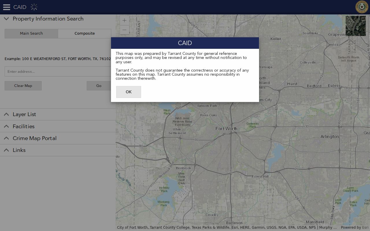
After locating the parcel, note the address spelling, parcel boundary, and any selected city or ZIP layer before opening a related property card.
The county’s TCProperty ArcGIS layer identifies SITUS_ADDR as its display field and supports parcel metadata queries. It is the technical counterpart to the CAID map view, with TAD-derived fields and a stated 1,000-record maximum for the layer.
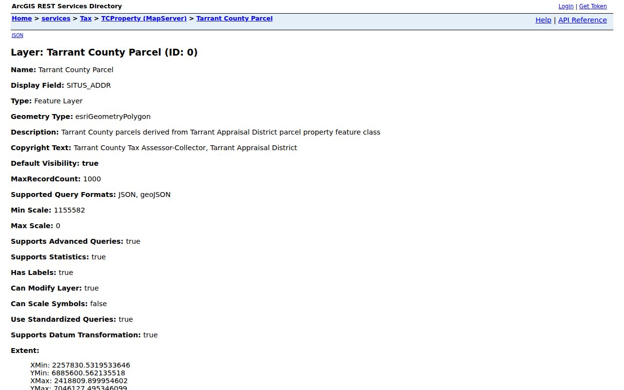
The ArcGIS field list helps preserve a parcel identifier and situs address separately from any owner or mailing field found later.
Note: CAID has more map layers than a delivery-address search, but each layer has its own date and accuracy boundary.
Sort Bedford Situs and Mailing Addresses
A Bedford street directory needs three address labels, not one. The situs is the parcel’s physical location. The owner mailing address is where an appraisal or tax notice goes, and it may be outside Bedford. A record-party address is what a deed, lien, affidavit, or permit recorded at a particular time. A matching mailing and situs line can be useful context, but it does not turn an owner record into confirmed present occupancy.
- Parcel
- A mapped unit of land used by the appraisal and mapping systems. It can carry an account number, legal description, and physical address.
- Situs address
- The physical property address attached to a parcel. It is distinct from the address used for an owner’s notices.
- Plat
- A recorded map showing subdivision lots, blocks, streets, or dedications. It is not a survey of current ownership.
- Criss-cross directory
- The street- or address-order portion of a historical directory that can lead back to a dated household entry.
USPS postal city, voter registration address, TAD mailing address, and deed-party address answer different questions. Label each value with its source and date. For historical household names, the year-by-year method belongs with the Bedford City Directory collections, rather than with a current parcel lookup.
Search Bedford Street Deed Chains
Tarrant Official Records is the Real Property index for recorded Bedford instruments. Its Quick Search accepts a free-text term such as a grantor, grantee, subdivision, document type, or document number. The Advanced Search route also exposes a recorded-date range, shortcuts from the last 24 hours to one year, Index Only versus Index & Full Text searching, and the Real Property department. The page currently displays certification through August 28, 2026, but it does not state the earliest year in the online index.
Start with the owner or party in both roles. Then test the subdivision, document number, and spelling variants. Index Only is the predictable choice for names and fields; Full Text can find OCR language, although handwritten older records may not search well. A document can show a transaction party or a historical address without establishing who lives at the parcel now.
The Tarrant County Clerk real-estate records guidance describes the official search and recording route.
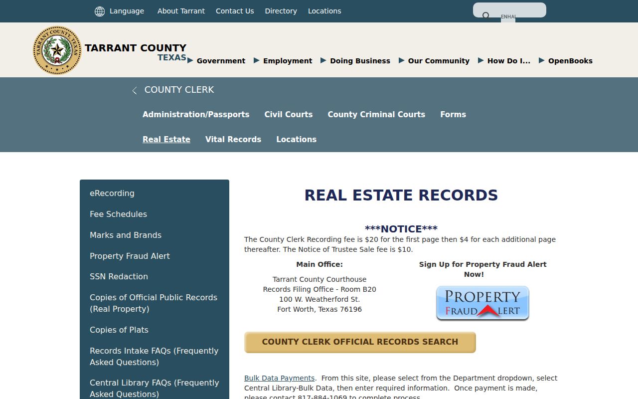
Open an index entry only after the parcel clues line up, then record the instrument type, parties, recording date, document number, legal description, and image availability.
Copy choices. Tarrant County offers free watermarked unofficial downloads after account registration. At the counter, copies cost $1 per page and certification adds $5; mail requests need a document number and payment.
Use Bedford Deed Cards and Plats
The Tarrant Deed Card portal supplies another address-history route when a subdivision or legal description is known. Its Deed Card panel has Subdivision Name, Subdivision Code, Block Number, and Lot Group controls. The Abstract panel offers Abstract Number and Grantee. A subdivision-name search can return all blocks, subdivision code is exact, abstract numbers are entered without a leading A, and grantee names use the form LAST, FIRST. Popups must be enabled for the portal’s linked material.
A search card can tie a Bedford street to a subdivision, block, lot group, abstract, grantee or grantor, and an instrument or map reference. The exact fields on a selected Bedford card still need visual confirmation, so record only what the returned card actually displays. Pair the result with the public deed index rather than assuming the card is a complete chain of title.
The deed-card search screen shows the legal-description controls that support this Bedford street directory step.
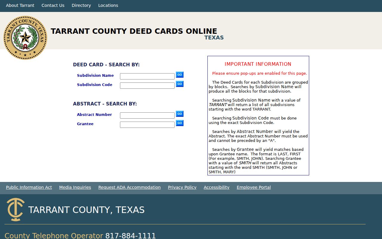
Subdivision, block, and lot information can bridge a delivery address and an older plat, especially where a street label alone produces too many results.
Request Bedford Street Record Files
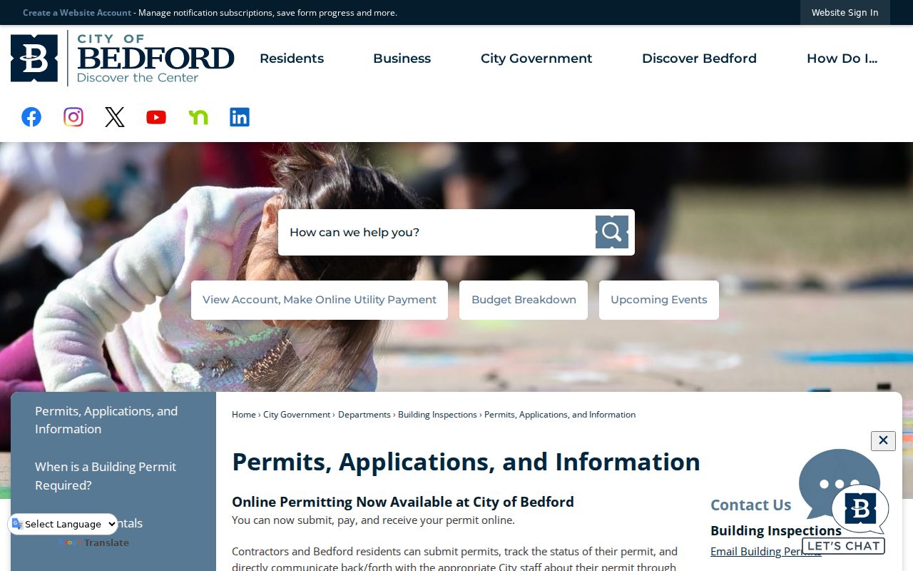
For a defined Bedford permit, planning, engineering, public-works, or code record, start with the city’s Permits, Applications and Information route. The account-based OpenGov system supports application, payment, status, messages, inspection scheduling, and permit or report printing. The public landing page did not show a stable public address-search table or historical result coverage before login. That gap means a returned portal screen should not be treated as proof that no address record exists.
The Bedford Public Information Requests route can seek an existing street-name ordinance, plat, address-assignment log, permit report, or code file by address, date range, project, or permit number. It cannot require staff to create a new street-wide list of people. City-held records also have boundaries: the city says it does not keep residential blueprints or surveys, and a code report is an allegation rather than a finding about a person.
The Bedford permits and applications page is the city’s published gateway to that address-record route.
Use a specific record description and date band. That makes a city request narrower, easier to evaluate, and less likely to confuse a permit file with a resident record.
Read Bedford Street Labels by Year
Old place labels can be the missing key in a Bedford street directory search. The Bedford Road corridor had early commercial activity by 1882, while the Old Bedford School history places Milton Moore’s 1859 farm claim near Barr Drive. The school later moved through a 1914 bond, the 1958 HEB ISD annexation, a 1969 closure, and city purchase in 1973. Those events create map, school, city, and land-record leads, but they do not establish that every person tied to the site lived nearby.
Use the Tarrant Archives maps and plans route for circa-1960s Bedford-Euless plat maps, HEB promotional or street-directory maps, a 1967 Sanborn HEB inset, and a 1970 Hurst-Euless-Bedford map. Preserve the map year. Bedford’s expansion and Mid-Cities labels mean a historical result may be filed under HEB, Euless, Hurst, or Fort Worth Suburban rather than a modern Bedford label.
Before March 29, 1876, the county courthouse fire destroyed virtually all county records. Later re-recording and archive material can help, but an early missing deed should be described as not located in surviving or re-recorded records, not as proof that an event never happened.
Limits of a Bedford Street Directory
No public source supplies a confirmed, complete current household list for a Bedford street. A parcel owner can receive mail elsewhere. A voter address is a dated registration field and can be suppressed for confidential voters. USPS delivers to an address without identifying who is there. CAID displays geographic context, and a city permit can identify a project or applicant, but neither is a resident roster. Treat each record as evidence of the narrow fact it records.
Lawful personal use. Address records are for lawful research, property history, family-history, and civic purposes. Do not use them to stalk, harass, intimidate, or attempt to identify a protected address; confidential voter and Address Confidentiality Program records must not be reverse engineered.
For a match that matters, verify the current record with the responsible Tarrant County or Bedford office. The most accurate conclusion may be limited: an instrument was recorded, a parcel carries a situs address, or a person appeared in a dated directory.